Hefted - Dispatches from Cumbria
Countrystride
Countrystride #134: The Scafells – Hidden views and curious histories
0:00
Current time: 0:00 / Total time: -59:47
-59:47

Countrystride #134: The Scafells – Hidden views and curious histories

...in which we ascend Moasdale from Cockley Beck in the company of author Guy Richardson to take a long view of the Scafell massif and its oft-overlooked history.

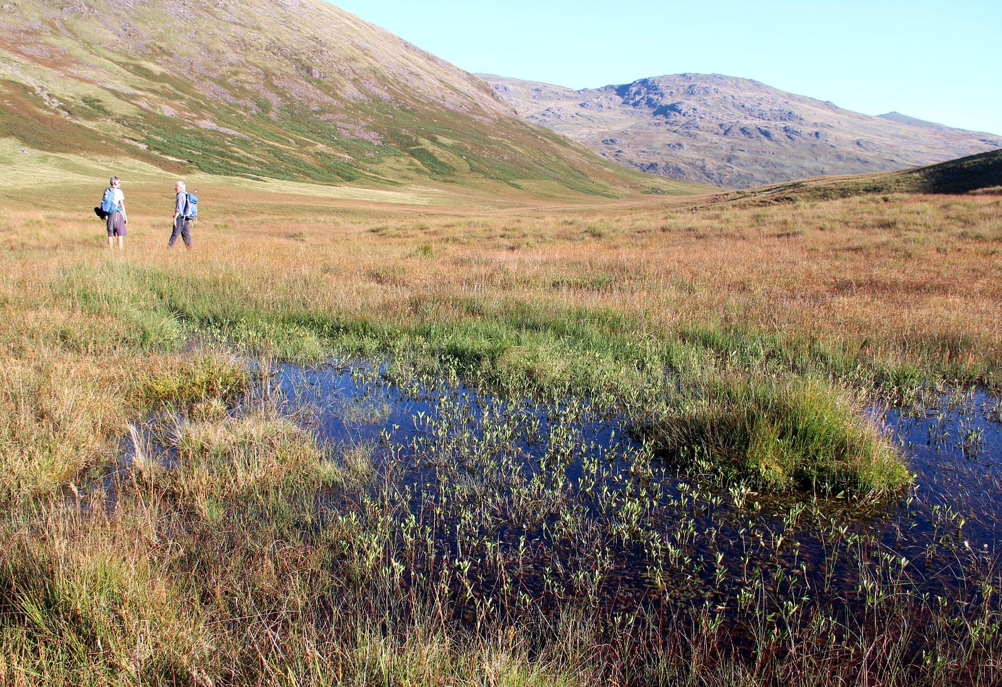
Under pristine skies we ascend the 'moss valley' on a long-abandoned turf-cutters' way to reach Moasdale Col and the Duddon/Esk watershed, where we are wowed by the Alpine panorama of England's highest peaks – a view that is surely one of Lakeland's finest and one which, remarkably, has rarely been captured by poet or painter.

In a wide-ranging discussion about the Scafells' neglected history, we identify the fells' first appearence on maps, and the changing names – the Pikes of Scawfell, Scawfell Pike, Scafell Pike, Sca Fell – that offer glimpses into the influence of guidebook writers and the early methods of OS surveyors.

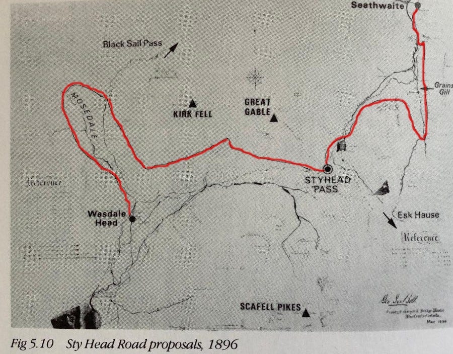
Recalling Samuel Taylor Coleridge's infamous descent of Broad Stand (and the subsequent first climb of the accident blackspot by his farming hosts), we consider the great conservation battle to keep conifers from Great Moss; we learn about the madcap attempts to build a road over Sty Head; we reflect on the 'Great Gifts' that secured the heights of Eskdale and Borrowdale for the nation; and we attempt to settle one of the Lakes' enduring debates: is it Scafell or Scawfell?.

  • For more information about Guy's book The Scafells : A Grand Tour and a peek inside see: www.scafells.uk

  • The book is also available from all good bookshops (Cumbrian ones are best!).
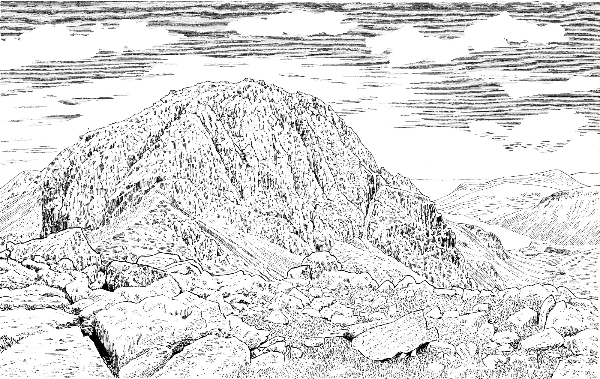
Scafell (or Scawfell?) from Scafell Pike, the notorious blackspot of Broad Stand in the foreground.
Our guest for the day: Guy Richardson.
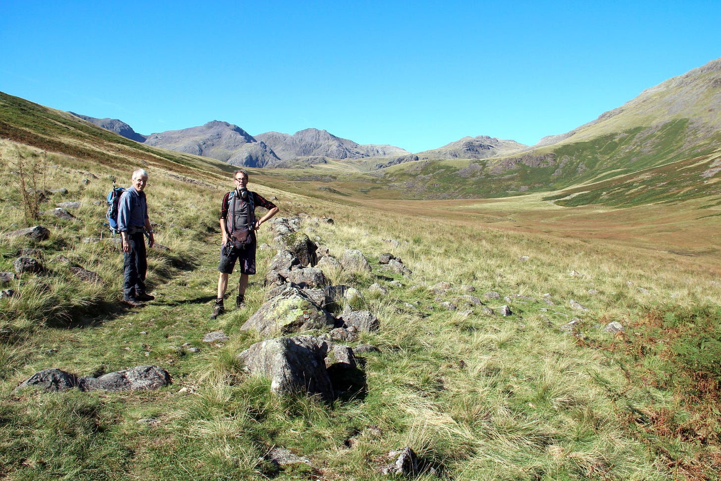
The peat-cutters' track, or turbary way.
The moss of Moasdale ('moss dale') – once dug for fuel, now a potential site of re-wetting conservation work.
Mark and Guy with the Scafell massif on the skyline behind.
The road that nearly got built - twice.
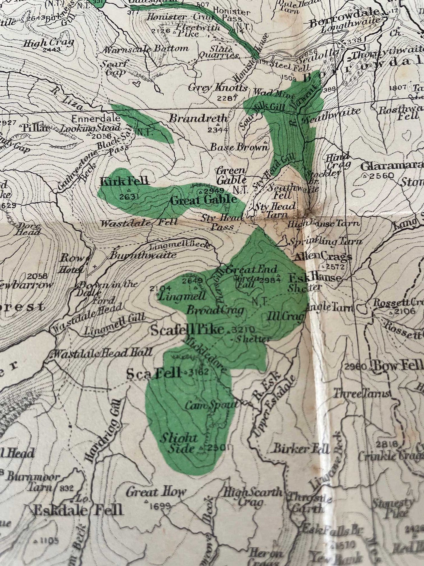
Map showing National Trust ownership in 1946 from the book 'The Lake District and the National Trust' by B. L. Thompson, published 1946. If you look closely you can see that fells on the Borrowdale side, like Glaramara and Green Gable, that are generally thought to be part of the FRCC ‘Great Gift’ in 1923 are not included.
Map showing the boundary of land in the Scafells acquired from Lord Leconfield by Arthur Benson and Gordon Wordsworth, subsequently gifted to the NT. In all, the land given by the FRCC was 1,184 acres and the land given by Benson and Wordsworth was 1,310 acres.

Discussion about this podcast