...in which we tell the 1,000-year story of cartography in the historic counties of Cumberland, Westmorland and Lancashire with author, academic and cartophile Bill Shannon.
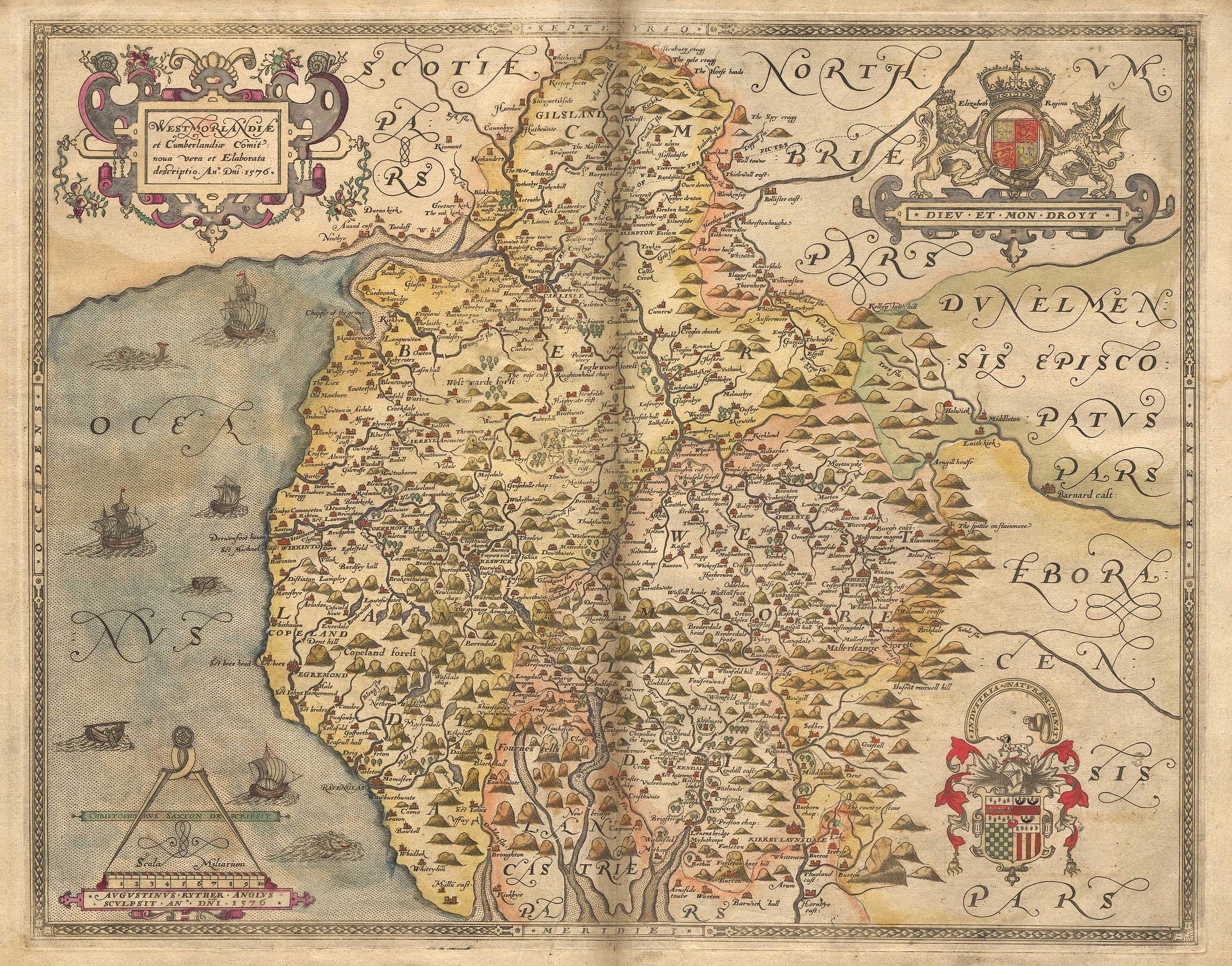
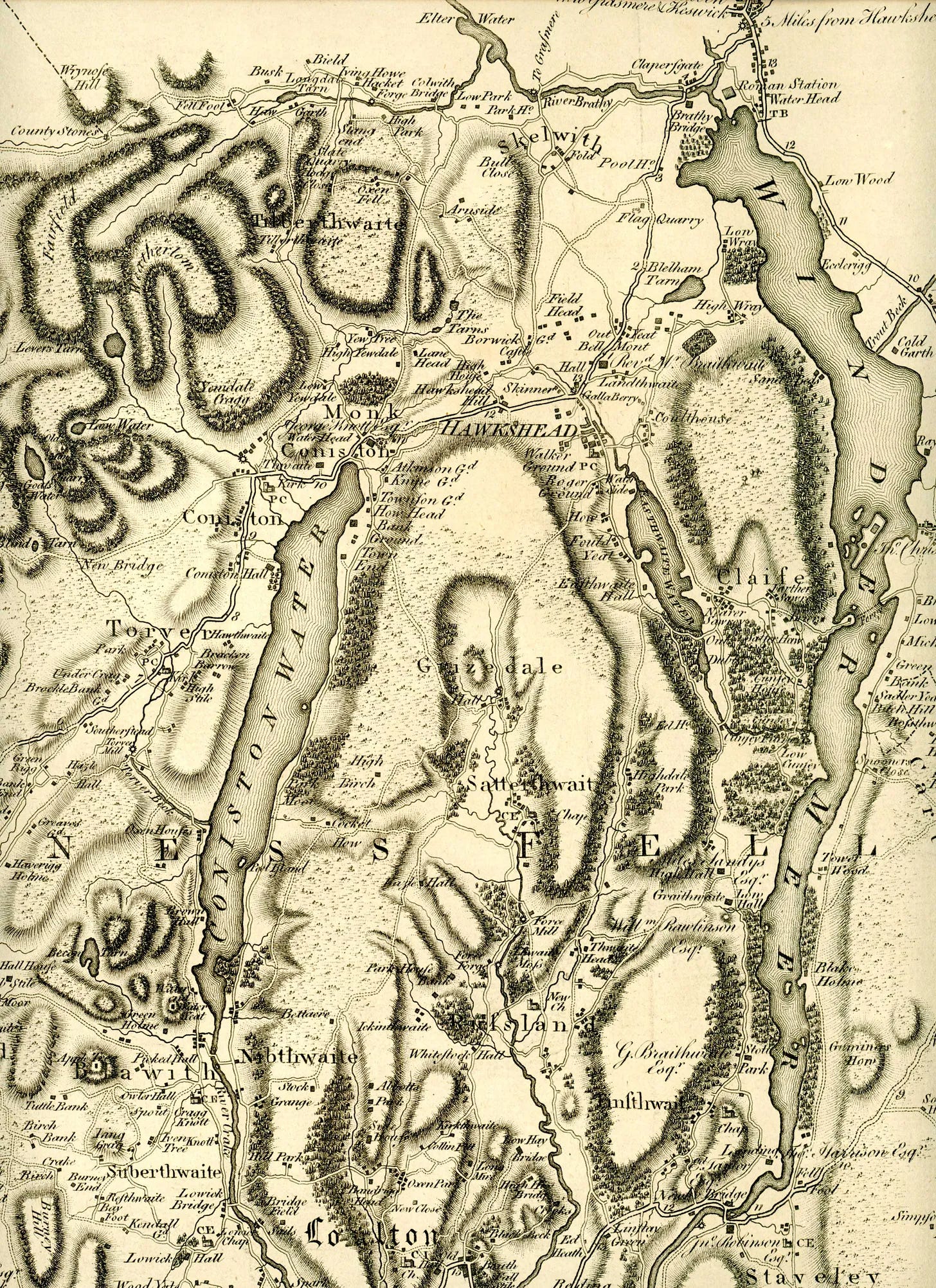
When does the name 'Cumbria' first appear on a map? Who were the men – entrepreneurs, oddballs, fraudsters and visionaries – who developed the skills of surveying and map-making over generations, often for scant financial rewards? How did the remarkable Christopher Saxton undertake the first county surveys – to make the definitive maps of England that were still being used two centuries later? When were the first scientific surveys carried out, and what role did the Ordnance Survey play in popularing maps for the 'everyman'?
In this amiable chat covering ten centuries of map-making, we talk triangulation and tourism; contours and cartouches; and nymphs, monks and memories of map-reading on a misty Blencathra.
Bill is on Twitter/X at https://x.com/BillShannon19
You can find out more about / buy Bill's book at https://www.inspiredbylakeland.co.uk/products/cumbria-1-000-years-of-maps
To view some of Bill's favourite maps, check out Bill’s long-form article on Hefted: https://hefted.substack.com/p/six-iconic-maps-of-cumbria


You can see more Cumbrian maps and read more about them on Hefted below:
Six iconic maps of Cumbria. William D. Shannon's new book, 'Cumbria – 1,000 years of maps', features more than 100 charts, surveys and maps from ten centuries of cartography. Here he picks six of his favourites. More >
Maps of Cumbria #56: Plan of Line of Aqueduct from Thirlmere to Manchester, Manchester Corporation Water Works. In this excerpt from the forthcoming book 'Cumbria – 1,000 years of maps', the forces of industrial progress and landscape preservation wage war over the crystal-clear waters of Thirlmere. More >
Long read: Maps of Cumbria – ‘Official Railway Map of the Cumberland & Westmorland Districts, prepared and published by The Railway Clearing House, London’. More >


Share this post